
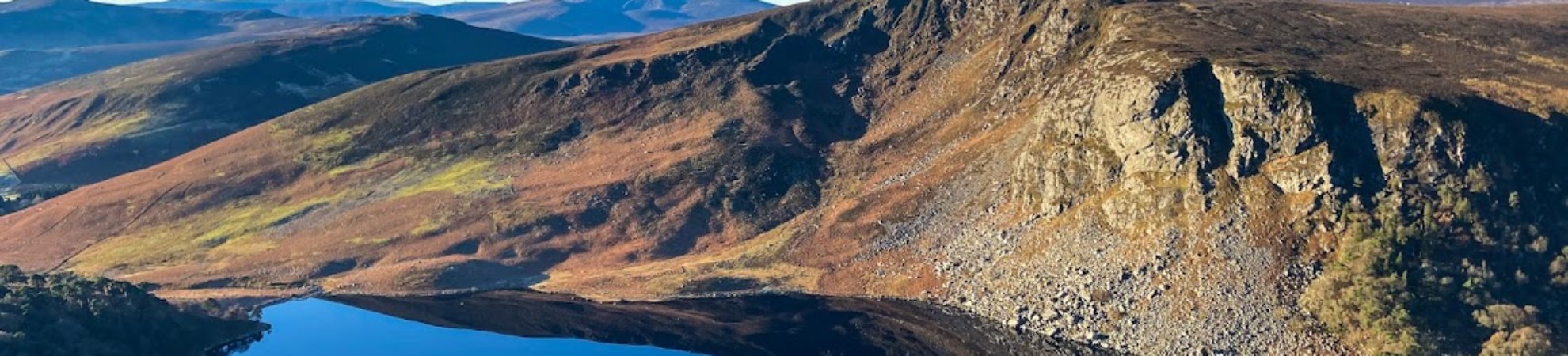
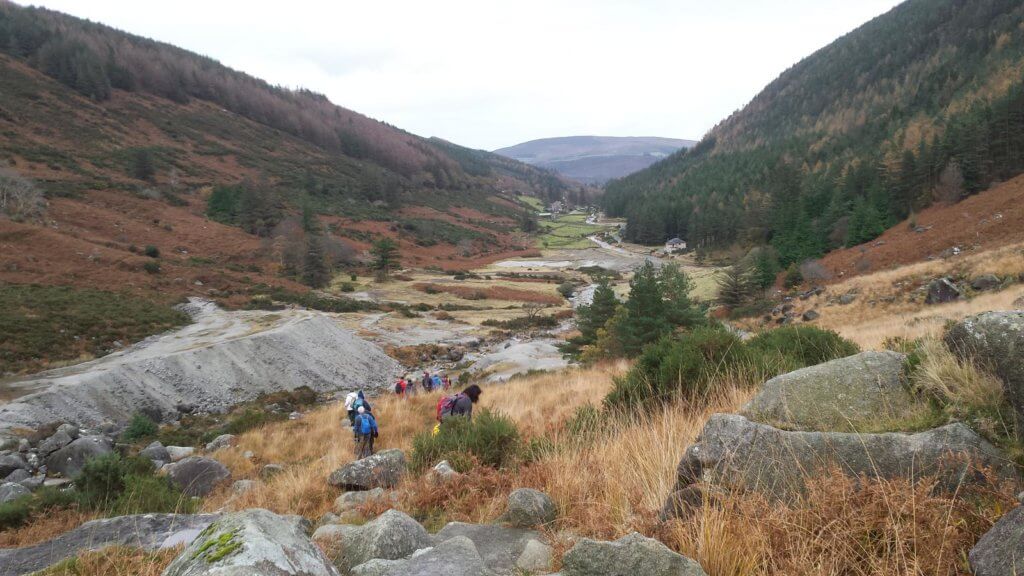
Whether it’s a short and scenic hike you’re looking for or a long and grueling trek through the mountains, we have it all. These are 25 of the best hikes in the Wicklow Mountains.
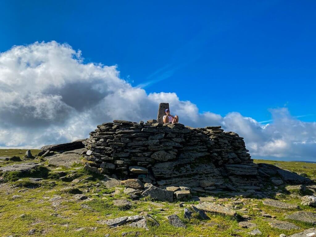
1. Ballinastoe Woods, Djouce & White Hill
Distance: 12 km Loop Trail
Summit: 725 m (2,378 ft)
Difficulty: Moderate
Route Description:
If you love beautiful forests and breathtaking lake views then this is the hike for you. This looped hike starts at the Ballinastoe Woods car park and can be completed either clockwise or anti-clockwise. This route is easy to follow as the trails are very visible and a lot of it is boardwalks.
You’ll be treated to beautiful views of the mythical Ballinastoe Woods, the Guinness Lake, the Great Sugar Loaf, and on a really clear day you can even see the peaks of Snowdonia all the way in Wales. The chance to see Snowdonia from the peak alone would make it one of the best hikes in the Wicklow Mountains.
Find Out More: Hiiker
2. Crone Woods to Djouce Mountain & War Hill
Distance: 15 km “Out & Back” Trail
Summit: 725 m (2,378 ft)
Difficulty: Moderate
Route Description:
This hike begins in the beautiful Crone Woods and takes you on a route that passes the breathtaking Powerscourt Waterfall. Powerscourt Waterfall stands at 121 metres tall, making it Ireland’s highest waterfall.
The trail is easy to follow for the majority of the route, but there is a section between Crone Woods and Djouce that the trail becomes virtually invisible and a little boggy. Again, the views are amazing from the summit. You’ll be treated to views of the Great Sugarloaf and other surrounding mountains.
Find Out More: Hiiker
3. Crone Woods to Maulin
Distance: 8.5 km Loop Trail
Summit: 570 m (1,870 ft)
Difficulty: Easy to Moderate
Route Description:
This hike is one of the best short hikes in the Wicklow Mountains. At only 8.5 km it’s perfect for a family day out and if the kids get tired there are multiple ways to shorten the hike, all very well marked.
The entire trail is very well-kept and marked and the views along the way are absolutely stunning. You’ll be treated to amazing views of the Sugarloaf and Djouce from the summit.
Find Out More: Hiiker
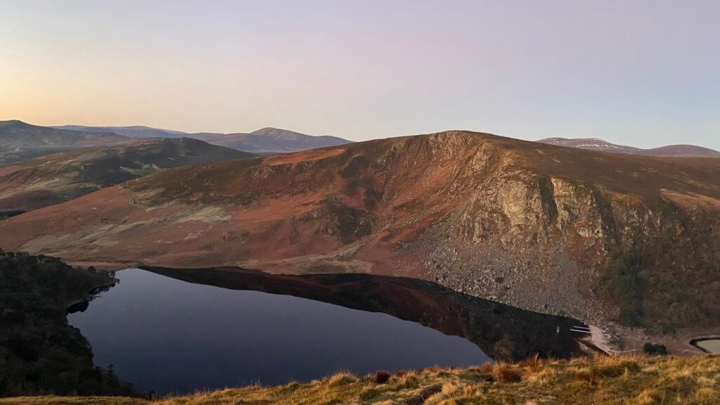
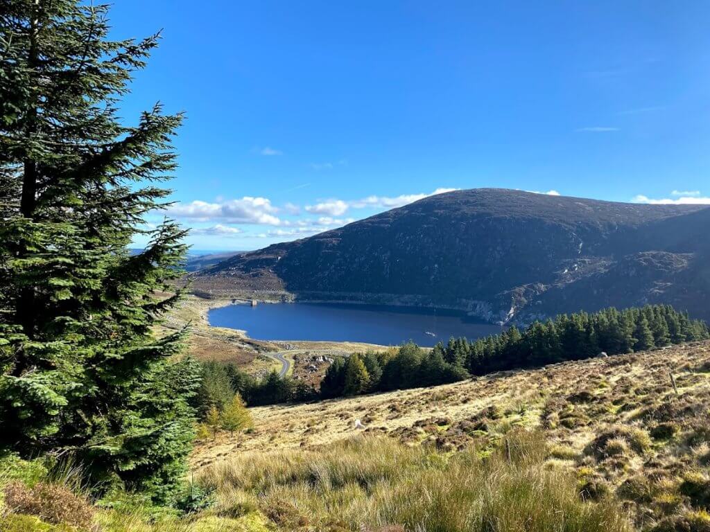
4. Lough Bray Upper & Lower
Distance: 7 km Loop Trail
Summit: 550 m (1,804 ft)
Difficulty: Moderate
Route Description:
Although this is a relatively short hike, the trails are narrow and muddy with steep drop offs making it quite difficult to traverse in bad weather conditions. However, if you head up on a nice day you’ll see why it is one of the best hikes in the Wicklow Mountains. The views from Eagle’s Crag are unrivaled and on a clear day you can nearly see all the way to the sea.
Waterproof hiking boots are absolutely essential for this hike and hikers need to be wary on the narrow paths beside the steep drop offs. Both lakes are often used for wild swimming. For tips on wild swimming check out our open water swimming article here.
Find Out More: Hiiker
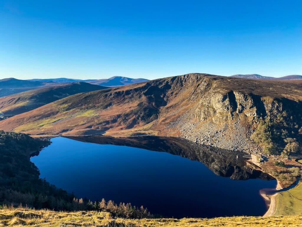
5. Luggala (the Fancy Mountain)
Distance: 8 km “Out & Back” Trail
Summit: 595 m (1,952 ft)
Difficulty: Moderate
Route Description:
This route starts off at Ballinastoe Woods along the R759 and continues down through the Luggala Estate. The privately owned Luggala Estate has covid-19 protocols in place among other rules but it is well worth it once you get the beautiful views of the Guinness Lake from the top. Their rules are as follows, no dogs, no fires, no camping, no flying drones, remain on the path, road or trail and lastly, leave no trace.
This is a fairly straight forward route to follow, however, the trail can be hard to follow as you’re heading up the actual mountain and in bad weather conditions it can get very boggy underfoot.
Find Out More: Hiiker
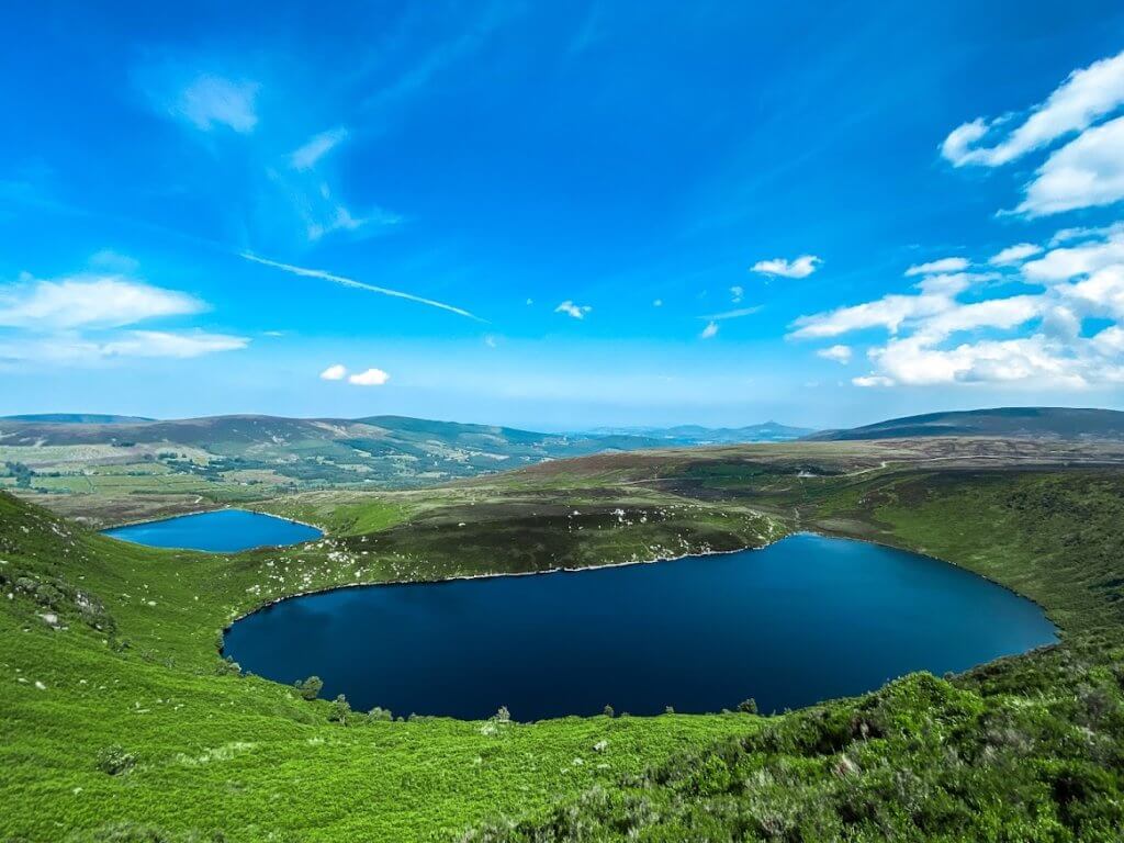
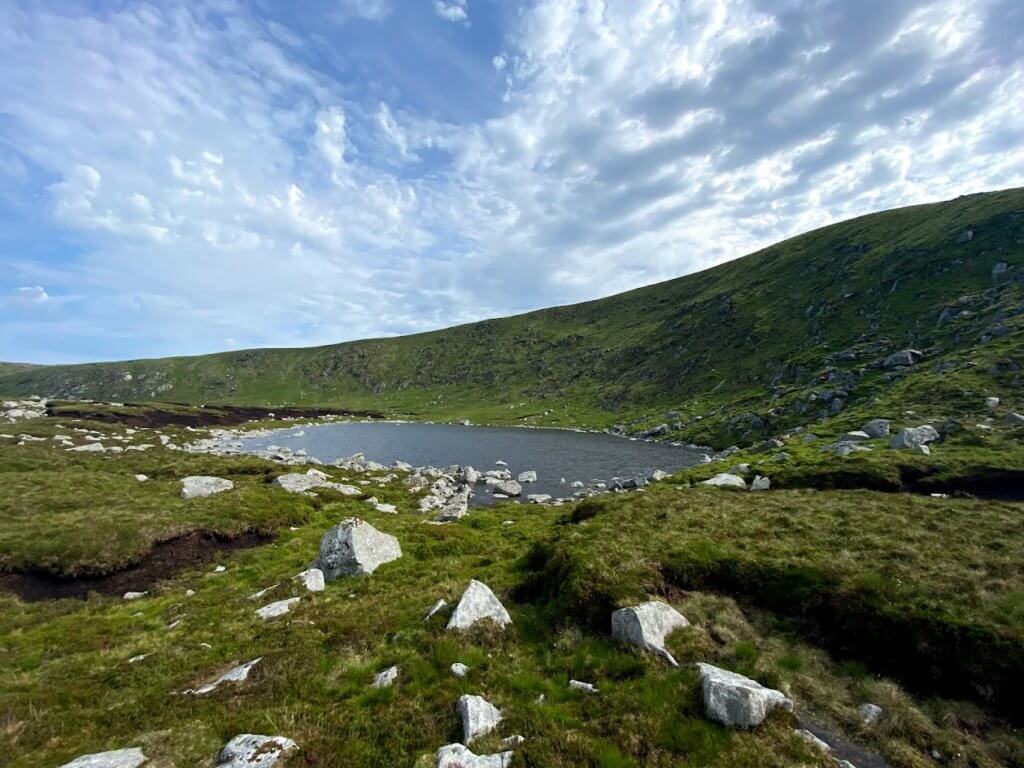
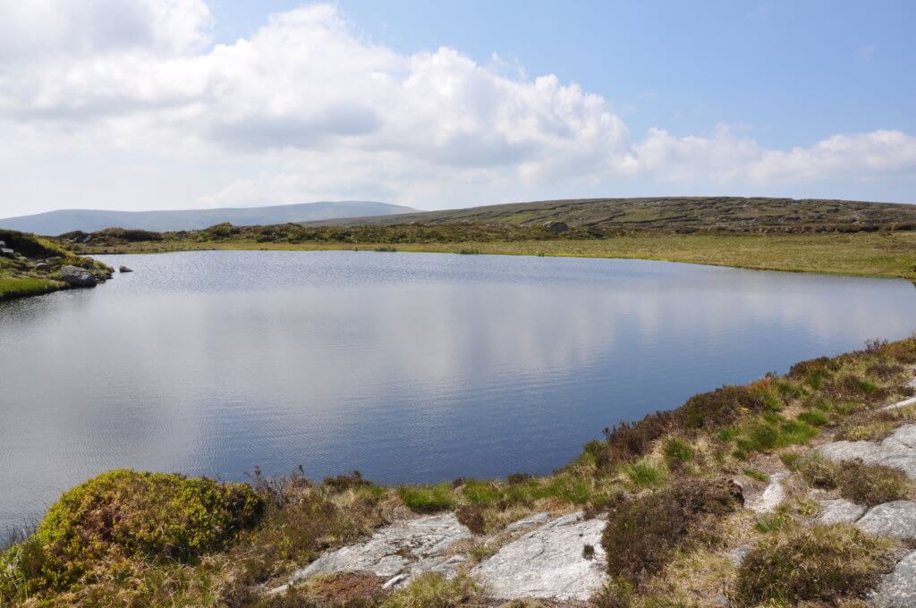
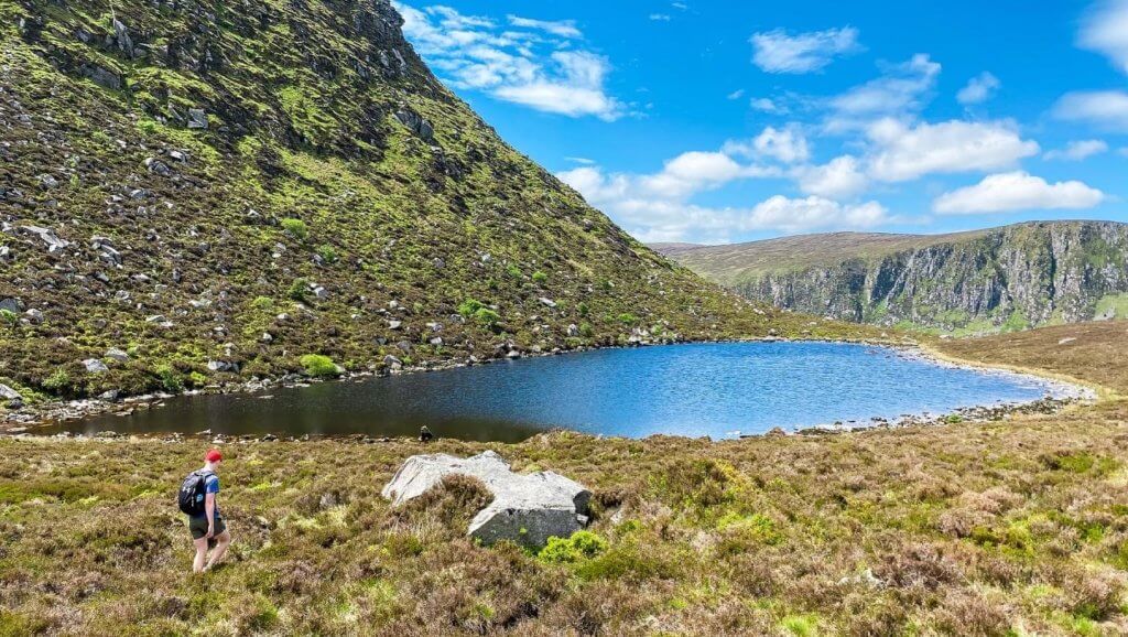
6. Lough Ouler Loop
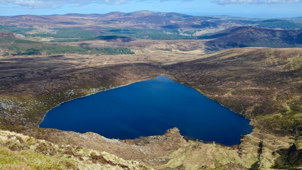
Distance: 10km Loop Trail
Summit: 817 m (2,680 ft)
Difficulty: Moderate to Hard
Route Description:
This hike is one of the most beautiful in the Wicklow Mountains for obvious reasons. Lough Ouler is in the shape of a love heart giving hikers spectacular views from the ascent, descent and summit of Tonelagee.
Although this trail is beautiful, it is a tough hike. The trail is very hard to navigate without GPS or navigation skills and it can be very wet and boggy underfoot even in good weather conditions, but on a good day the views are truly amazing.
Find Out More: Hiiker
7. Black Hill to Mullaghcleevaun
Distance: 12.5 km “Out & Back” Trail
Summit: 849 m (2,785 ft)
Difficulty: Moderate
Route Description:
Mullaghcleevaun is the second highest peak in Wicklow, after Lugnaquilla. As you walk up towards the first peak of this trail, Black Hill, you’ll be treated to views of the Blessington Lakes on your right. This section takes you up a loose rocky trail and is easily followed.
After Black Hill the trail becomes a little harder to follow but on a clear day you can easily see the peak of Mullaghcleevaun diagonally to your left. The route is often boggy so good footwear is essential.
Find Out More: Hiiker
8. Mullaghcleevaun & Tonelagee Circular from Ballynultagh Gap
Distance: 32 km Partial Loop Trail
Summit: 849 m (2,785 ft)
Difficulty: Hard
Route Description:
This is the first long day hike of the list. Incorporating three main peaks of Black Hill, Mullaghcleevaun and Tonelagee, this trail is an excellent one to start off with if you’re looking to push yourself that little bit further on your hikes.
The terrain on this hike is notoriously boggy and often wet underfoot so appropriate hiking gear is essential. If you’re unsure where to start with the gear you’ll need we have a list of gear you need to get started.
Find Out More: Hiiker
9. Scarr Mountain
Distance: 15 km Loop Trail
Summit: 641 m (2,103 ft)
Difficulty: Moderate
Route Description:
This hike is a little less known than most but definitely deserves its place as one of the best hikes in the Wicklow Mountains. This hike is rich in fascinating geological history for the budding geologists.
Hikers recommend attempting this trail clockwise as that gets the section along the road out of the way first. On a clear day you’ll be treated to views of Glenmacnass Waterfall from the summit of Scarr and Lough Dan from the summit and descent of Kanturk.
Find Out More: Hiiker
10. Lugnaquilla from Fraughan Rock Glen
Distance: 13 km “Out & Back” Trail
Summit: 925 m (3,034 ft)
Difficulty: Moderate
Route Description:
A beautiful route to the summit of Leinster’s highest mountain. This trail takes in forest paths, valley trails, cliff faces, a waterfall and a river. It really is the trail that has everything.
This route is trailed nearly the entire way up to the summit. However, it can be tough to follow once you’ve passed the waterfall and does get quite wet underfoot at this stage if the weather hasn’t been great.
This is definitely one of our personal favourite hikes in the Wicklow Mountains.
Find Out More: Hiiker
11. Glendalough Spinc Trail
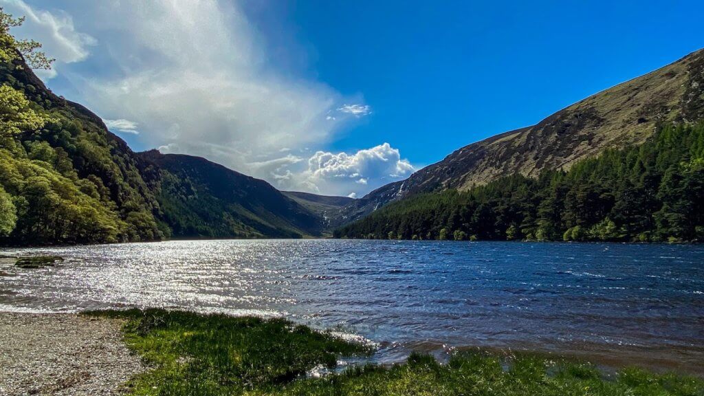
Distance: 10 km Loop Trail
Summit: 500 m (1,640 ft)
Difficulty: Moderate
Route Description:
Glendalough is one of the most popular tourist destinations in Ireland so obviously it’s going to get a spot in our list of the best hikes in the Wicklow Mountains. Every route you take in Glendalough is covered with natural beauty but to truly experience all it has to offer we recommend taking the Spinc Trail.
This trail starts at the upper car park but if you want to add an extra three kilometres and the monastic site and round tower to the route you can park at the lower car park. Although, this trail is rated as moderate difficulty you can still attempt it at any skill level as it is trailed the entire way, just take your time with it and bring plenty of snacks and water.
Find Out More: Hiiker
12. St. Kevin’s Way
Distance: 30 km Thru Hike
Summit: N/A
Difficulty: Hard
Route Description:
St. Kevin’s Way is a beautiful thru hike that follows in the footsteps of St. Kevin. The route will take you from Hollywood through the Wicklow Gap and onto Glendalough. On the descent into Glendalough you’ll pass many monastic ruins as you hike through the valley.
The terrain varies from forest trails to country roads to mountain paths and some sections can be very wet and boggy. A good level of fitness is definitely needed to complete this trail.
Find Out More: Hiiker
13. Lugnaquilla (the Zig Zags)
Distance: 15 km “Out & Back” Trail
Summit: 925 m (3,034 ft)
Difficulty: Hard
Route Description:
This hike starts off at the foot of Carrawaystick Waterfall. The trail for the first hour is very steep but the views of Glenmalure are absolutely amazing as you zig-zag up the trail. To truly understand why this hike is one of the best hikes in the Wicklow Mountains you need to do it at sunrise. However, one should only attempt at sunrise if they are, or are with, an experienced hiker.
The terrain along this trail is quite extreme and offers a great challenge for avid hikers. The hike starts off with a steep zig-zag climb on loose rocks and then moves into wet boggy terrain before you climb the peak of Cloghernagh and then Lugnaquilla.
Find Out More: Hiiker
14. Camaderry from Glendalough
Distance: 12 km “Out & Back” Trail
Summit: 698 m (2,290 ft)
Difficulty: Easy to Moderate
Route Description:
A beautiful and quiet alternative to the often overcrowded Glendalough. With a valley either side that intersect at the foot of this mountain, Camaderry offers some of the most unique, but unheard of, views in the Wicklow Mountains.
Camaderry is climbed at a very gradual incline making it do-able for most abilities. The route takes you on a zigzagged forest trail then up through a clear mountain path. Walking up the trail reminds us of the picturesque hills in the Sound of Music movie.
Find Out More: Hiiker
15. The Wicklow Way
Distance: 130 km Thru Hike
Summit: N/A
Difficulty: Very Hard
Route Description:
The Wicklow Way is a multi-day hike through the Wicklow Mountains with options to camp or stay in a wide variety of accommodations. The Wicklow Way website has plenty of suggestions on places to stay along the trail. Most hikers complete the route over 5-10 days but those of you looking for a challenge can always try to do it in less.
About 33% of this trail is along quiet back roads, but don’t let that deter you as completing this hike in its entirety is so rewarding. The total elevation gain of the trail is 3,570 m (11,712 ft) so a high level of fitness is needed to take on this challenging hike, but the bragging rights you get after completing it are worth the hardship.
Find Out More: Hiiker
16. Lugnaquilla from the Glen of Imaal
Distance: 14 km “Out & Back Trail”
Summit: 925 m (3,034 ft)
Difficulty: Moderate to Hard
Route Description:
Yet another amazing route up the highest mountain in Leinster. This one takes you past a live military range which means sometimes this route can be closed off to the public.
This trail is relatively easy to follow as you just walk from peak to peak. All of which are visible on a clear day. Sometimes the trail can get wet and boggy underfoot but the majority of the time it’s solid.
Find Out More: Hiiker
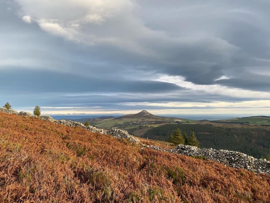
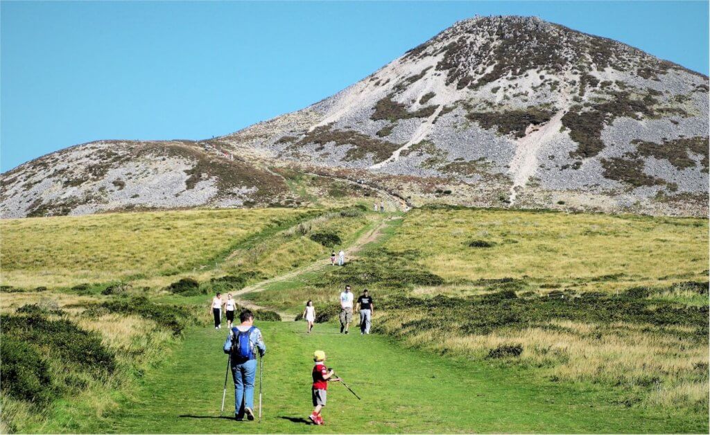
17. The Great Sugarloaf
Distance: 2.5 km Partial Loop Trail
Summit: 501 m (1,643 ft)
Difficulty: Easy to Moderate
Route Description:
One of the most iconic hikes of the Wicklow Mountains, the Great Sugar Loaf is a short but rewarding hike that gives you beautiful 360° views of Wicklow and South Dublin. It’s a great family hike to bring the kids on as well because even if they hate it it’s only a short walk back to the car. On a clear day you’re able to see Snowdonia in Wales and the Mourne Mountains in Northern Ireland.
The hike is quite steep for a short hike but is trailed all the way up by either rocky or grassy paths.
Find Out More: Hiiker
18. Camaderry, Turlough Hill & St. Kevin’s Way Loop
Distance: 10 km Loop Trail
Summit: 677 m (2,221 ft)
Difficulty: Hard
Route Description:
Starting off at Glendalough this hike will take you up a trail to the summit of Camaderry East and then down into the valley of St Kevin’s Way. The trail is easy to follow all the way. Just keep an eye out for the St Kevin’s Way route markers as you make your way down from Camaderry. The marker is a small man holding a stick and an arrow pointing in the direction you need to go.
Once you find the first one you’ll easily be able to follow the route down through the valley. The terrain from here on will be rocky paths and forest trails. Although some might be quite wet and boggy if the weather hasn’t been great. This trail is one of the best full day hikes in the Wicklow Mountains and is a must do for any avid hiker.
Find Out More: Hiiker
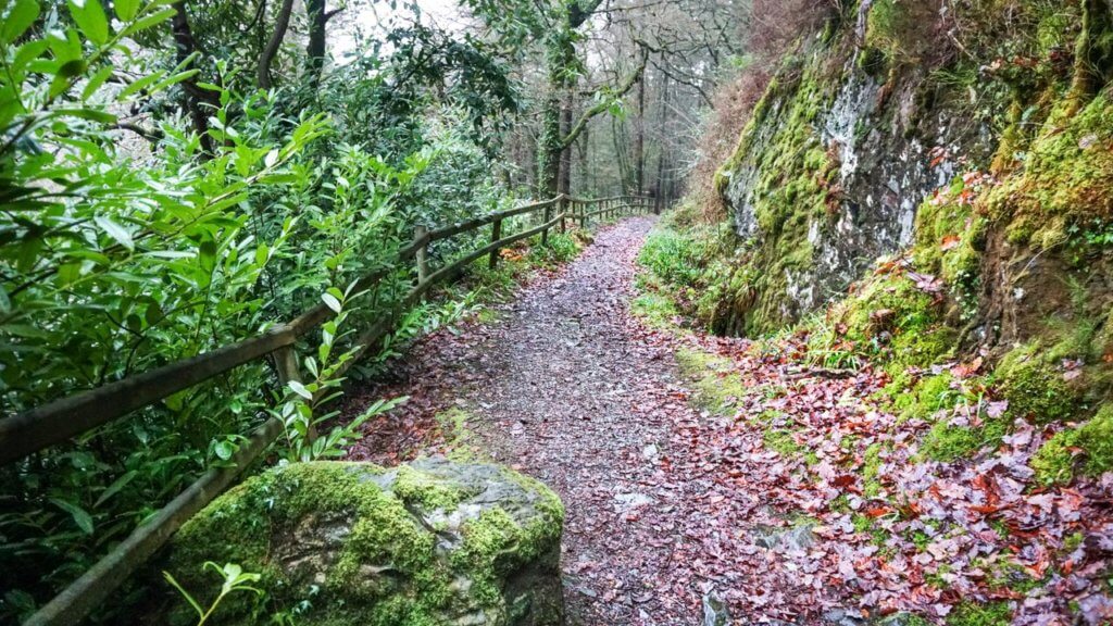
19. The Devil’s Glen
Distance: 5 km Loop Trail
Summit: N/A
Difficulty: Easy
Route Description:
This short hike will make you feel like you are walking through an enchanted forest because of the amazing sculptures and beautiful sound of the waterfall in the background.
It is a perfect family hike but the muddy tracks and occasional steep downhills make it unsuitable for buggies. However, it is definitely one of the best hikes in the Wicklow Mountains for a family day out.
Find Out More: Hiiker
20. Avonmore Way
Distance: 13 km Thru Hike
Summit: N/A
Difficulty: Easy
Route Description:
The Avonmore Way is a beautiful flat hike through the Wicklow Mountains, perfect for a family walk as you can turn back at any point.
The route itself is a combination of minor roads, forest roads and forest trails. All of which are very well kept and maintained.
Find Out More: Hiiker
21. Drumgoff Forest to Lugnaquilla and Glenmalure
Distance: 28 km Loop Trail
Summit: 925 m (3,034 ft)
Difficulty: Hard
Route Description:
Probably the most challenging route up Lugnaquilla. The entire loop can take upwards of eight hours and has a total elevation gain of nearly 1,110 metres.
You’ll traverse four mountain peaks along this route with steep ascents and descents. The terrain you will encounter includes open pastures, gravel trails, bog land, boardwalks and rocky paths. If you want a challenging but one of the best full day hikes in the Wicklow Mountains then this is the route for you.
Find Out More: Hiiker
22. Lacken to Sorrel, the Black Hill Loop
Distance: 13 km Loop Trail
Summit: 599 m (1,965 ft)
Difficulty: Moderate
Route Description:
This route takes you up Sorrel Hill and Black Hill. Both giving you insane views of the Blessington Lakes. This trail can be chopped and changed depending on your preferences and hiking ability. We’ve included multiple links to routes below to help you decide which route suits you best.
The trail takes you through a variety of terrain, narrow including forest paths, minor roads and rocky paths. As always good gear is essential especially in wet weather.
Find Out More: Hiiker
23. Arts Cross & Lough Firrib
Distance: 13 km “Out & Back” Trail
Summit: Tomaneena 682 m (2,237 ft)
Difficulty: Moderate to Hard
Route Description:
This hike is one of the lesser known ones in the Wicklow Mountains but everything about it is both challenging and absolutely stunning. It starts in Turlough Hill car park but once you reach the summit of Tomaneena you really start to go off trail so excellent navigational skills are required.
The terrain is comprised of peat haggs and completely remote landscapes. Good footwear is, again, essential on this hike. The navigational challenge associated with this hike and the rich history of the Art O’Neill cross are what make this hike one of the best in the Wicklow Mountains and a must do for any experienced hiker.
Find Out More: Hiiker
24. Lugnaquilla & Arts Lough Circular
Distance: 15 km Loop Trail
Summit: 925 m (3,034 ft)
Difficulty: Moderate to Hard
Route Description:
Our final Lugnaquilla route of the article. This trail incorporates the Fraughan Rock Glen route listed earlier, but instead of going back the same route you will follow a trail down to Cloghernagh and on to the little known, but beautiful, Arts Lough. This elevated lake is what makes this hike one of the best in the Wicklow Mountains. It is absolutely magnificent, especially on a sunny day.
The trail is easy to follow until you reach the peak of Cloghernagh. If you look to your left at this point you’ll see a narrow trail veer off. You then follow this down to Arts Lough and past it. However, once you pass Arts lough the trail becomes very hard to follow and the descent back into Fraughan Rock Glen is steep.
Find Out More: Hiiker
25. J.B Malone Memorial to Djouce
Distance: 9 km “Out & Back” Trail
Summit: 725 m (2,378 ft)
Difficulty: Moderate
Route Description:
This section of the Wicklow Way takes you up a boardwalk trail overlooking the Guinness Lake all the way up to Djouce mountain. It’s the perfect family walk to immerse yourselves in the mountains and away from most of the crowds (unless it’s a really sunny day).
The trail is very easily followed and should cause the average hiker no problems. There is also the option to loop back around on a narrow ridge path that gives breathtaking views of South Dublin and Wicklow.
Find Out More: Hiiker


10 and 4 look greAT
THANKS
did number 11 yesterday!!
adore this article thanks! 🙂