
Brought to you by:
![]()
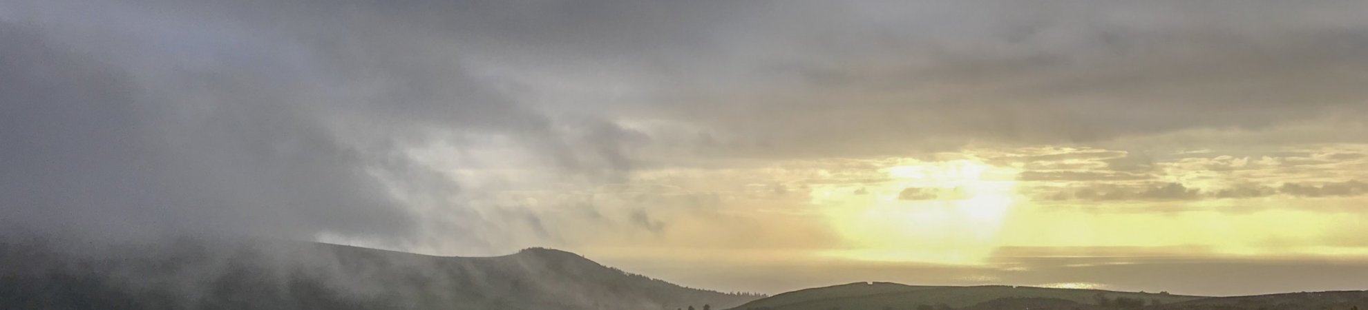
The magical Mourne Mountains are one of the most special areas in Ireland. With weather that changes almost by the second, there is something otherworldly about this mountain range.
The Mourne Mountains offer true escapism at its very best. With a wide range of hikes to choose from, including everything from challenging multi-day adventures to punchy day-long treks, you will never tire of the routes on offer. We highly recommend hitting the road (it’s only a 1.5-hour drive from Dublin!) for a weekend of hiking adventures. In addition to great hiking routes, there are fabulous accommodation options and food that is arguably some of the best in Ireland!
So what are you waiting for? Time to start planning a road trip to the Mourne Coastal Route!
1. Slieve Donard, Newcastle
Height: 850m
Distance: 9.2km
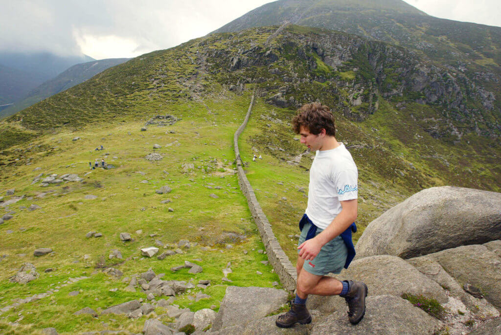
Towering above Northern Ireland, Slieve Donard offers an amazing hiking opportunity for novice hikers who want a challenging hike that will be rewarded with excellent views.
Slieve Donard is the highest mountain in Northern Ireland, standing at 850m. Although this hike is relatively short compared to other mountains, the steep incline of the path is sure to give you a great workout. Plus, the incredible views of the Isle of Man and towards the peaks of Wales, Scotland and Donegal are well worth the climb.
Route:
The best route to the top of the mountain is a well-defined trail that takes you along the Glen River and through a lush forest filled with pine, birch and oak. Bridges will take you across the river at various points, so no need to stress about getting your boots wet.
You will continue up the Mourne Wall which will take you up a steep hill towards the summit. Fair warning, there are a few false peaks on the mountain, so wait until you see the cairn at the summit before you start to celebrate!
You can also choose to take the Bloody Bridge route (10.4km return) if you’re seeking a quieter hike. This route follows the Bloody River and is a steep climb to the summit. This trail will be less busy, but is also not as clearly marked as the main route.
2. Slieve Binnian, Carrick Little
Height: 747m
Distance: 11.2km, circular
View this post on Instagram
This circular walking route follows the Mourne Wall to the top of Slieve Binnian, crossing the incredible South and North Tors, Blue Lough and Annalong Forest.
Route:
Beginning at the Carrick Little car park, you will start on a clear, stony path towards the Mourne Wall. The path is well maintained, so it is very easy to follow. The path winds steeply towards the summit, but the heavy incline will be well worth it when you witness the stunning view from the top.
At the summit, you will be greeted with an epic panorama of the surrounding Mourne Mountains as well as views of the Isle of Man and the Wicklow Mountains on a clear day. You will then continue back down the mountain by hiking around the base of the Summit Tor witnessing the celebrated Back Castles.
The path will then bring you to the Blue Lough and the Annalong Wood. This path will bring you full circle back to the gate at the Mourne Wall, which will lead you back down to the car park.
3. Bearnagh and Meelmore, Trassey
Height: 739m
Duration: 9.65km, circular
View this post on Instagram
Famous for its magnificent granite tors at the mountain’s summit, Slieve Bearnagh (739m) is the perfect hike to escape the troubles of everyday life. And, it will have you working up a sweat!
Slieve Meelmore is also included on this walk, giving you a looped hike with incredible views from two different summits. You should be able to see the Sperrins, Lough Neagh and Strangford Lough on a nice day.
Route
The Trassey Track is the most commonly used trail for this hike. The beginning of the trail is clearly marked with a sign for the Trassey Track, and markers for the Mourne Way will indicate that you are on the right trail.
The rough trail climbs through the lush Clonachullion Wood and remains extremely steep until you reach the North Tor. You will then follow the Mourne Wall and begin to climb Slieve Meelmore until you reach the stone shelter that sits there. From there, you will hike to the summit of Slieve Bearnagh on the same path. Take a moment to breathe in the spectacular views of the Sperrins, Lough Neagh and Strangford Lough.
Travel through the Happy Valley along the Ulster Way on your descent.
4. Tollymore Forest Park, Tollymore
Duration: 0.6 – 9km circular options
View this post on Instagram
This rugged forest trail has a little something for every nature lover.
Route:
Taking the Mountain Trail, you will walk along the Shimna River before crossing the Boundary Bridge and into a dense forest. Luke’s Mountain can be seen while following the trail back along the Spinkwee River.
For those hoping for a bit of a longer walk, the Drinns Trail offers a 9km loop in the forest. At 255m, The Drinn is the highest point in the forest park. The Curraghard viewpoint at the top of the hill offers a spectacular rest stop as you look over the incredible Mourne Mountains, Dundrum Bay, Newcastle and the Irish Sea.
If you’re still aching for a bit more trail, the Black Trail adds another 4.5km to the route, passing the Curraghhard viewpoint and meandering back to the Mountain Trail.
5. Castlewellan Forest Park, Castlewellan
Duration: 3.5 – 5km mile circular options
View this post on Instagram
Castlewellan Forest Park is one of Northern Ireland’s most prized gems. Complete with a shimmering, iridescent lake, a towering Victorian castle, panoramic views, scenic walking trails, 27km of mountain biking trails, an outdoor playground, a muti-activity centre, a hedge maze and an equestrian centre, this park has something adventurous for everyone.
Walking Trails
Walk along the stunning Castlewellan Lake before ascending to the summit of Slievenaslat (272m).
This trail follows the southern shore of the lake and leads to the Moorish Towers, which were originally designed as a tea house.
Relatively flat and very tame, this trail leads around Castlewellan Lake, providing stunning views of the surrounding woodland as well as the Ice House and the iconic castle, which was built in 1856.
Choose from either a 1.6km or 3.6km route encircling the Duck Pond as well as Mitchell’s Lake.
Follow the southern shore of the lake to the western edge. The trail has a slight uphill pull, but walkers are rewarded at the top with views of the tranquil Cypress Pond.
Bunkers Hill Walk & Play Trail (1.9km)
This familywalking and cycling trail begins and ends at the Play Trail and is fully signposted. Walkers will be rewarded with three serene views of Slieve Croob, Dundrum Bay and the Mourne Mountains.
6. Murlough National Nature Reserve, Newcastle
Duration: 4km, circular
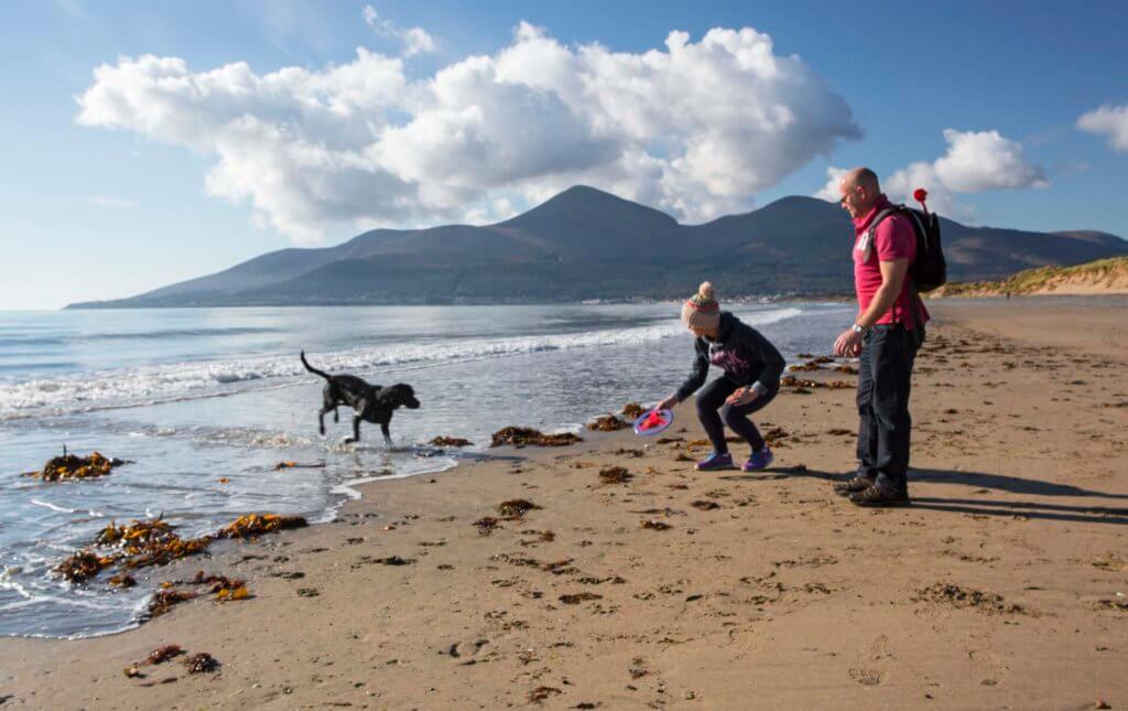
Due to the Murlough National Nature Reserve’s close proximity to Dundrum Bay and the Mourne Mountains, the park is an amazing place for walking, hiking and bird watching. The reserve offers an extensive network of paths and boardwalks through its sand dunes which are filled with an array of butterflies and wildflowers.
Route:
The reserve also has an abundance of coastal and mountain paths which lead to Slieve Donard and Slieve Commedagh. The Mourne Coastal Footpath travels for 2.4km to Bloody Bridge. From there, you can follow the “Brandy Pad” which is an ancient smuggler’s route from the shores of the reserve to the mountains.
7. Slievemartin
Duration: 9.7km
View this post on Instagram
This walk leads hikers along the wooded hillsides of Rostrevor in order to ascend to the summit of Slievemartin, giving hikers an incredible view of the steep coastline and the shimmering waters of Carlingford Lough that lie 500m below the summit.
Route:
The steep incline of the mountain will be sure to ramp up your heart rate while the spectacular views of the surrounding Mourne Mountains take your breath away (even more than the exercise!). After appreciating the views from the summit, begin to descend about 300m to witness the iconic Cloughmore Stone, which is fabled to have been thrown at an enemy by the giant Finn McCool.
8. Saint Patrick’s Way: The Pilgrim’s Walk
Duration: 131km
Certainly not for the faint of heart, The Pilgrims Walk is a 131km waymarked walking trail that connects key Christian Heritage Sites, Armagh and Downpatrick. The walk begins at the Navan Centre outside Armagh City and will lead you across some of the most untamed, rugged, gorgeous landscapes in Ireland all the way to Downpatrick.
The entire walk takes about 6-8 days and is signposted and divided into smaller, manageable sections.
Route Sections:
A. Navan to Armagh & City Tour (5k / 1 day)
B. Armagh to Scarva (20km / 1 day)
C. Scarva to Newry (20km / 1 day)
D. Newry to Rostrevor (15km / 1 day)
E. Rostrevor to Newcastle (38km / 2-3 days)
F. Newcastle to Tyrella (18km / 1 day)
G. Tyrella to Downpatrick (16km / 1 day)
9. Reservoir Views
Duration: 15km
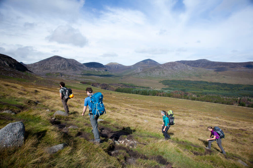
This strenuous 15km hike will take you on an epic journey traversing The Mourne Wall, Slieve Binnian, Cove Mountain, Slieve Beg, The Devils Coachroad, The Back Castles and the Glen River.
Route:
The hike connects the south Mournes to Newcastle via Slieve Binnian, Slievemalagan and the Glen River. As you travel through the Mournes, you will get amazing views of the Silent Valley Reservoir and the Ben Crom Reservoir.


What a fantastic list of hikes! I’ve been looking for new trails to explore in the Mourne Mountains, and this post has given me some great ideas. The photos are stunning and really capture the beauty of the area. I can’t wait to tackle Slieve Donard and explore the views from the top! Thanks for sharing these recommendations!
I absolutely loved this list! The Mourne Mountains have such breathtaking views and diverse trails. I can’t wait to try the hike to Slieve Donard next weekend. Thanks for the great recommendations!
This post on the best hikes in the Mourne Mountains is fantastic! Your detailed descriptions and stunning photos really captured the beauty of the area. I can’t wait to try some of these trails, especially the one you mentioned with the breathtaking views from the summit. Thank you for the inspiration!
Thanks for sharing this list of hikes in the Mourne Mountains! I’ve been looking for new trails to explore, and your insights on the best routes and their scenery are super helpful. I can’t wait to try the Slieve Donard climb – the views look incredible!