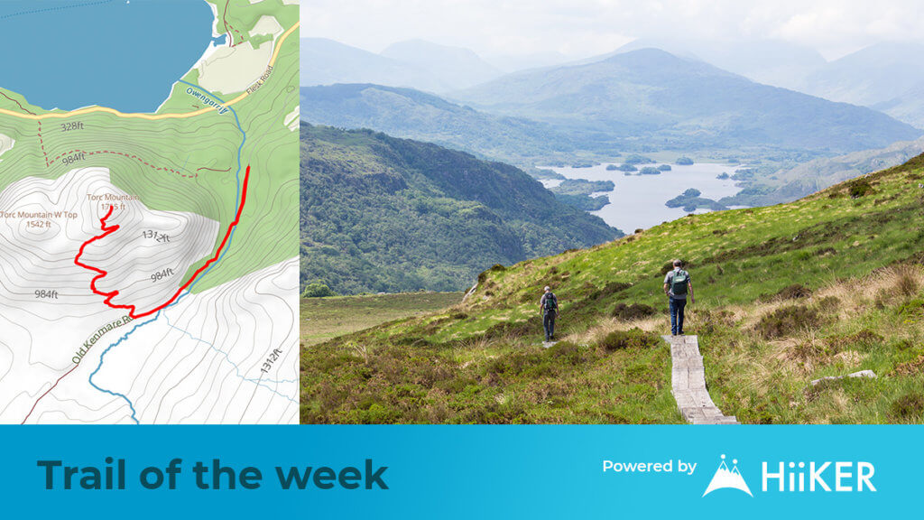
Torc Mountain
Start Point: Torc Carpark
Difficulty: Strenuous
Distance: 3.5hrs if you have a good base level of fitness
Killarney National park is one of the top destinations in the country. While many flock to experience the folk history of the area – or to drive the famous Ring of Kerry – Killarney is a hillwalker’s dream.
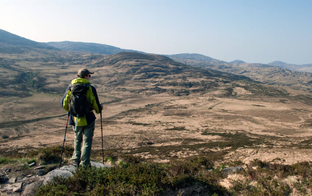
Home to many of the country’s tallest and most challenging mountains such as Carrauntoohil, Caher, Beenkeragh and Purple Mountain (otherwise known as The McGillycuddy Reeks), you will not be found wanting of hiking and walking trails in this part of the world.
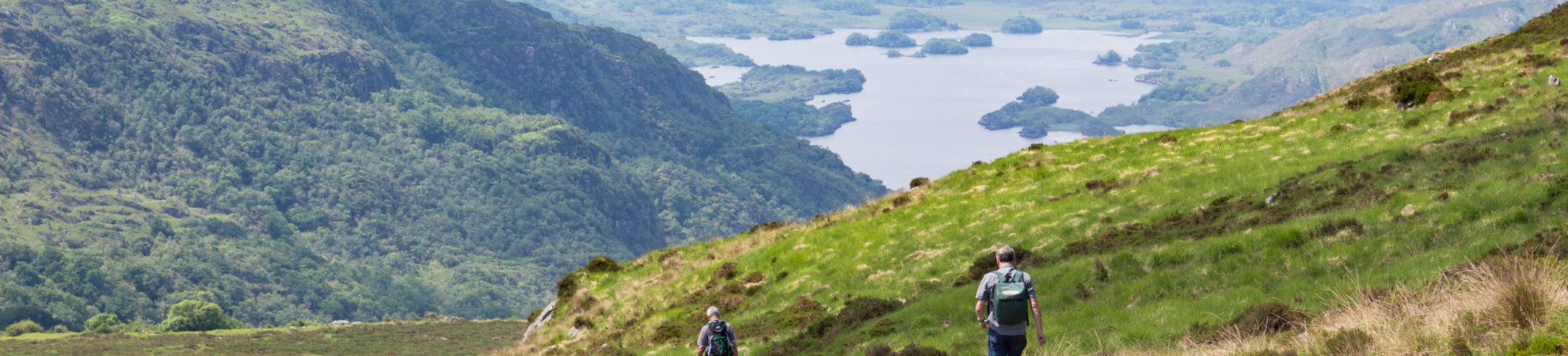
Standing just 7km outside the town of Killarney is a mountain that imposes itself as much taller than the official height would suggest. Torc Mountain rises from the shores of Muckross lake to grant those that summit the 535m peak, 360 views of Killarney and The McGillycuddy Reeks.
Torc Mountain – The Route
Starting from the Torc Car park, you will follow the Owengarriff river southbound on the well-marked trail. There are a number of routes that can be followed in the area (Yellow, red, blue) but only the Summit trail will get you to the top!
As you walk along the trail, you’ll see the little yellow walker waymarker. This is because you are also walking along the Kerry Way. After about 500m, you’ll cross the Owengarriff river and merge with the Old Kenmare road.
Roughly 1km down this path, you will turn right at a junction that will bring you to the top of the mountain. Climbing some 300m on a zig zag trail on the open mountain. Exposure to wind/rain would be a key consideration here. There is no forest cover, so (as always in Ireland) pack rain gear and an extra layer.
Eventually, you will reach the boardwalk section of the trail which will help you keep out of the boggy terrain. Very important to keep your awareness on these sleepers. While they are there to help you stay dry, in wet conditions they can become slippery.
Once you reach the top, you’ll be treated to views over Killarney National Park and the neighboring lakes (Muckross, Lehane, Guitane). While you have climbed almost 400m, the bigger siblings in the McGillycuddy Reeks still stand over to the North, dominating the sky. They are for another day.
The route back down is the same as the route up. Be careful on the boardwalk section on your descent. If it was slippy on the way up, it would surely be more treacherous on the route down.
There’s only two major junctions on the trail – at the bottom of the summit trail (turning left) and at the junction at the Owengarriff river bridge (turning right over the river).
Torc Mountain – The Terrain
The majority of the trail is covered in woodland trail. However, the summit path is a mixture of rocky mountain paths and a wooden boardwalk. Once you reach the summit the trail goes over a short mountain heath section. In poor weather conditions this can be boggy, so be prepared for muddy boots.
Torc Mountain – The Area
You don’t have to be from Kerry to know that Killarney is a gem in the Southwest. And considering the stiff competition from nearby areas such as the Dingle Peninsula, The Beara Peninsula and West Cork, earning the title of gem is no understatement.
If you’re visiting the area, Killarney has plenty of accommodation options, cafes and restaurants. You can find some of these on HiiKER.
Those looking for a longer walk, could instead start from Muckross lake and stop by the famous Torc Waterfall en route to the summit.
If this is a training hike for something big in the Reeks, be sure to check out all the routes on option on HiiKER.
Torc Mountain – Things to know before you go
- This is a strenuous hike and would not be suitable for small children.
- The hike should take around 3.5 hours depending on fitness levels
- Always pack rain gear, extra layers and enough food & water.
- Wear suitable footwear. Trainers would not be advised for the boggy sections, particularly in poor weather conditions.